Huayhuash: One of the most beautiful cordilleras in the world
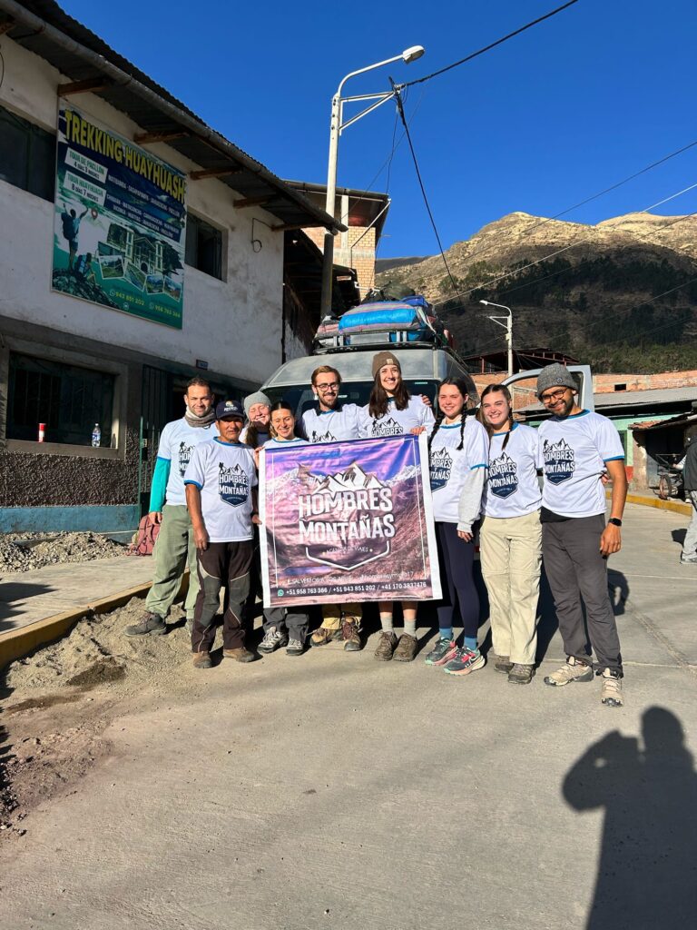
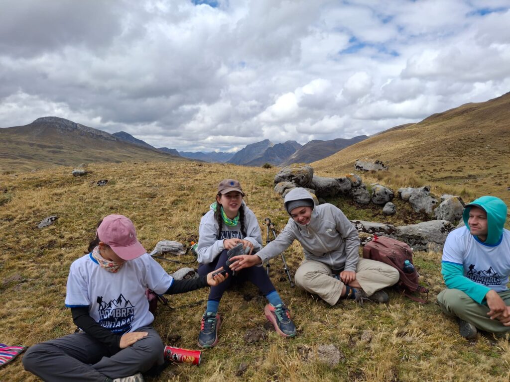
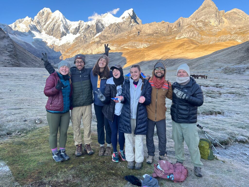
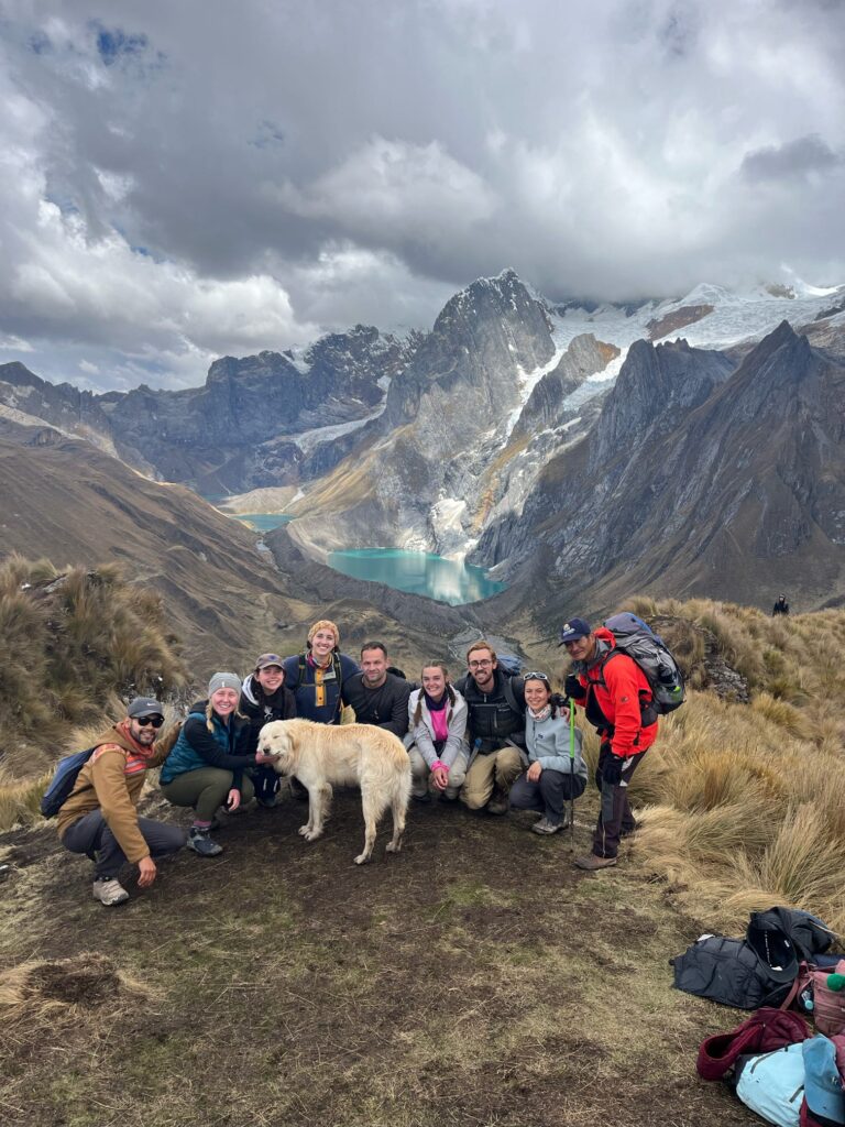
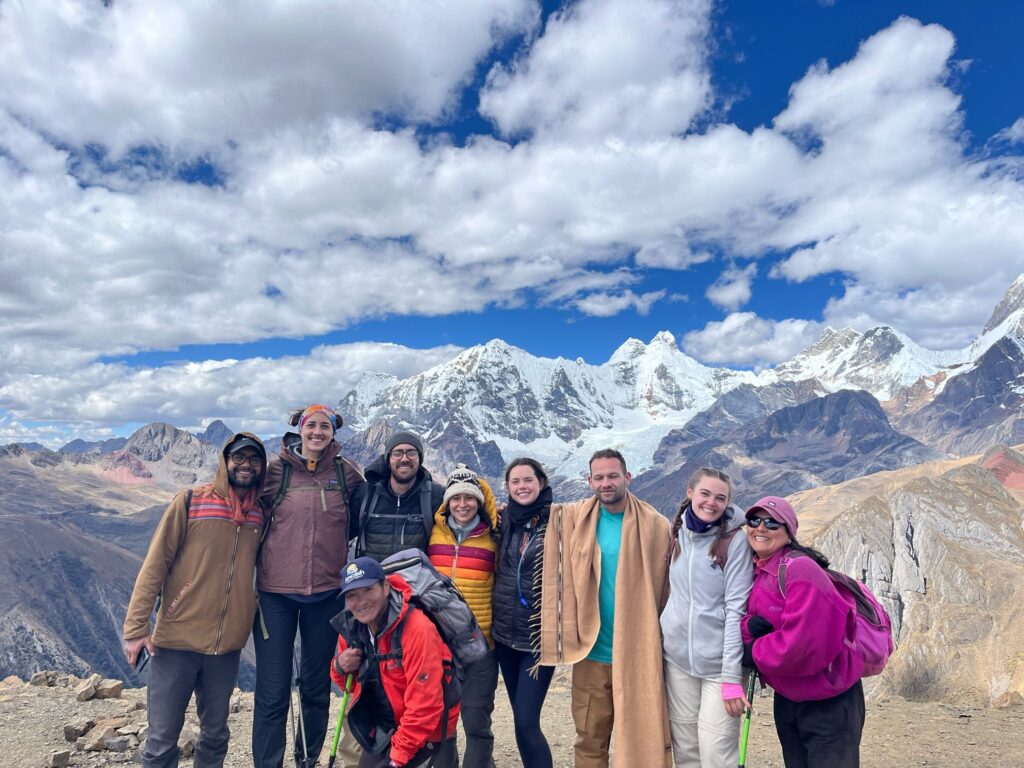
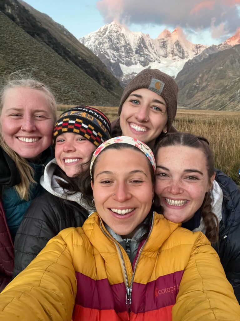
A couple of weeks ago, I checked off one of the major Ancash bucket list items: the Huayhuash Trek – an 8-day, 115km (70 mile) trek that takes you through 8,000ft of elevation gain and a maximum altitude of 16,732ft (5,100m). I did it alongside 7 other volunteers, and a guide team run by a 68 year-old man named Yoder, who is host family to one of the volunteers. To our delight, Yoder was a chef on treks for decades before opening his own tour agency. Needless to say, we ate well.
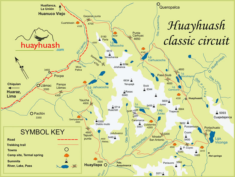
For context, the Huayhuash trek takes you on a loop around the Cordillera Huayhuash (Huayhuash mountain range). So, you end up seeing both sides of the huge, snow-capped mountains; starting northeast of the mountain range and ending to the southeast.
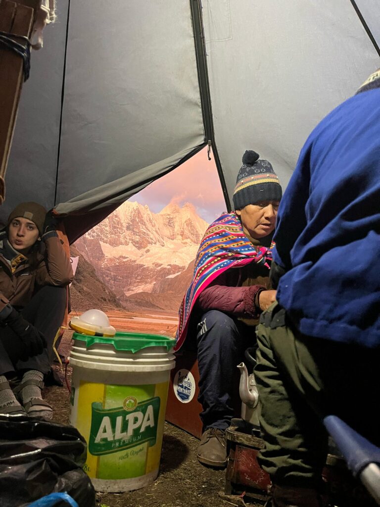
In the months leading up to the trek, some volunteers proposed doing the trek unguided to save money. For me, saving money in that department was simply not worth it. Not only is it a long trek, but we passed through 6 different communities, in which Yoder new many of the locals by name. Additionally, the stories someone like Yoder was able to tell us, as someone who had grown up there, were invaluable. He told us survival stories of ambitious mountaineers, emergency rescues of idiot foreigners that think they can drink alcohol at 15,000ft with a cough, and he pointed out the site of a plane crash 50 years ago.
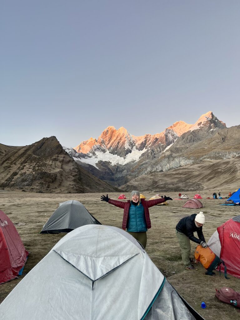
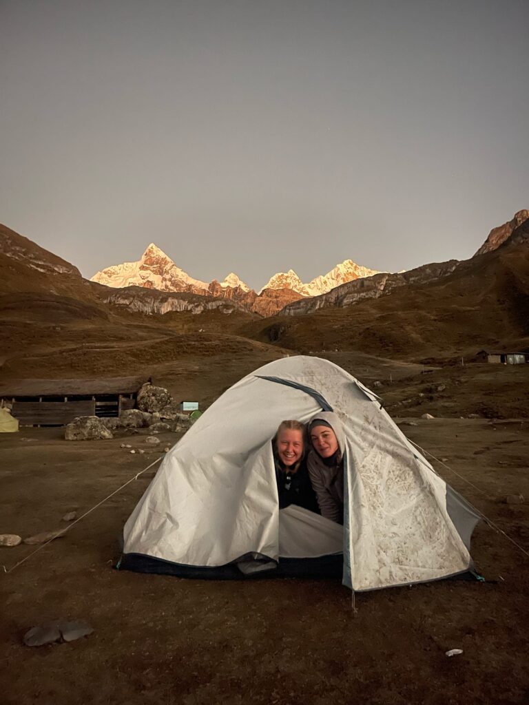
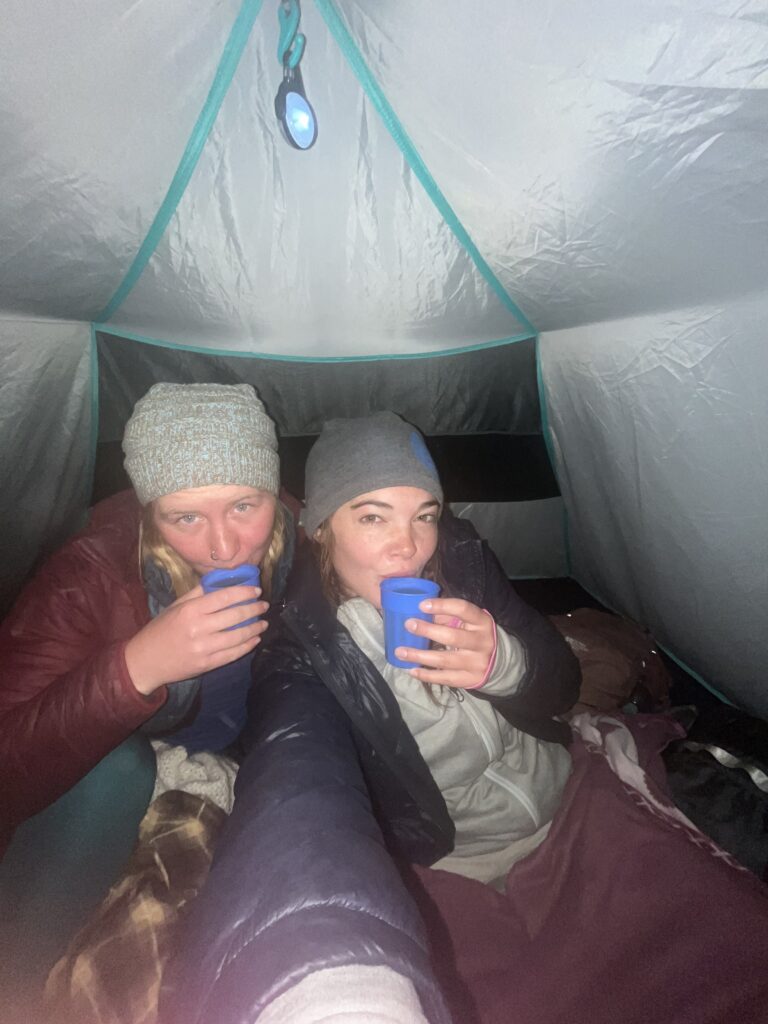
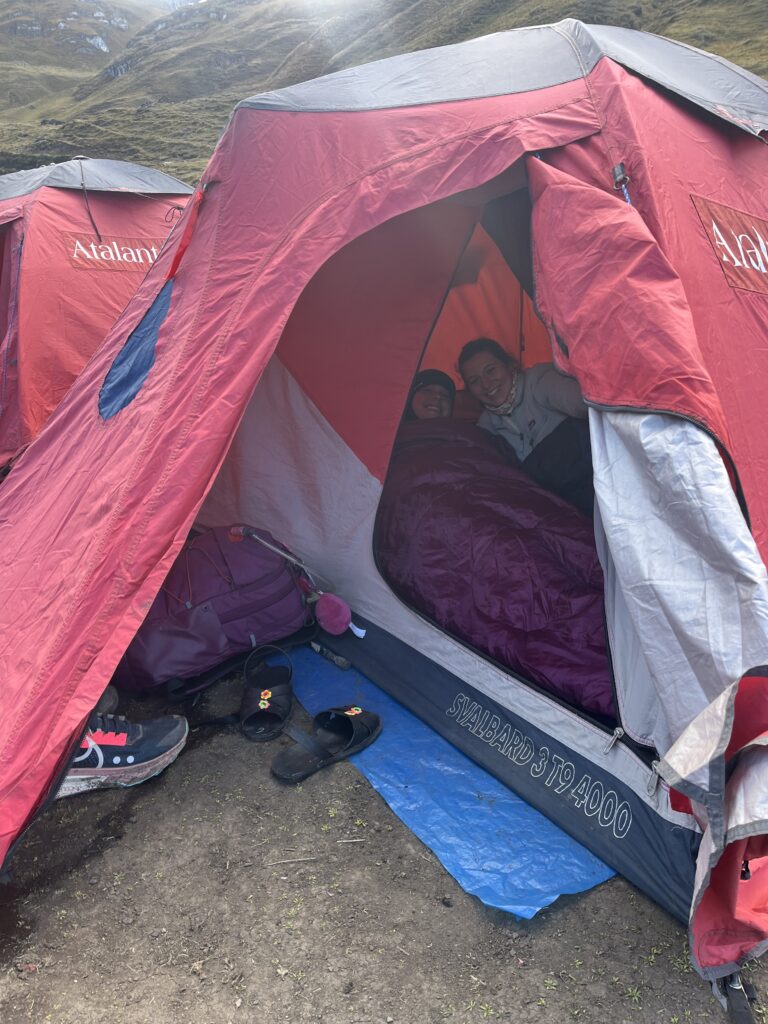
Luckily, there were no survival stories, emergency rescues, nor plane crashes on our journey (only one friend got a bit altitude sick on Day 2, though we will cut her some slack, as she lives at only 2,000 ft while the rest of us live between 7 and 11k feet). The biggest challenge, really, was the cold. Almost every morning, we woke up to a frosted tent. After ice cold feet on night 1, Yoder gave me a great piece of advice: fill a water bottle with boiling water and stuff it in my sleeping bag around my toesies. By night 3, I had two hot water bottles in there, one at my feet, and the other at my belly.
The 8-day Journey Begins
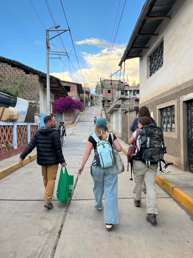
We spent the eve of the trek in Yoder’s home of Chiquian. Early the next morning, we set off in car about 1.5 hours to Quartelwain, the trailhead. The first two days of the hike weren’t too bad. On day 1, we walked up to Qaqanum Pass (4,700m or 15,400ft) and camped at 4,230m (13,900ft) next to Laguna Mitucocha. On day 2, we passed through Carhuac Pass at 4,650m (15,255ft) to reach our campsite, Laguna Carhuacocha (4,140m or 13,600ft).
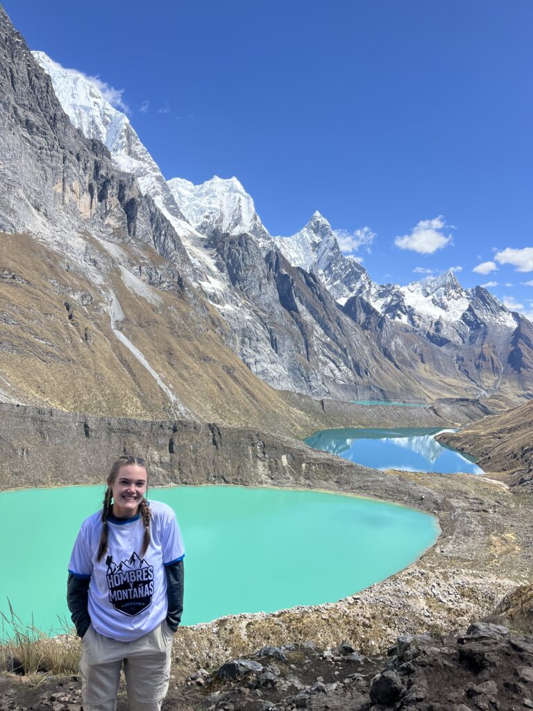
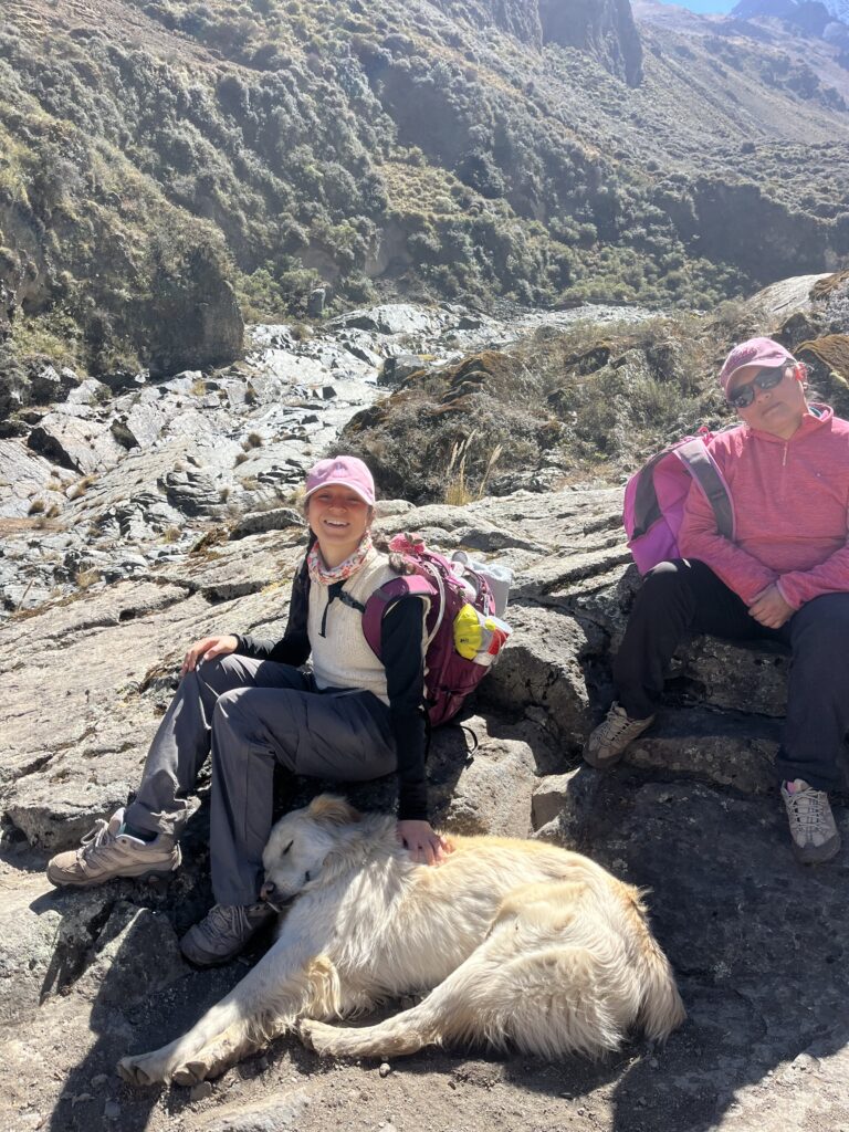
On day 3, we made our way through Siula Point (4,834m or 15,859ft) and on to Siula Laguna, to arrive at the famous tri-laguna viewpoint (said to be the most famous view of the trek, although my personal favorite was to come on day 6). I got my first rinse of the trip in Siula Laguna, a freezing cold, 10-second dip. Intermittently, after that, the girls and I took what my mother would call a “whore’s bath” which usually consisted of patting down the body with stream water and Dr. Bronner’s.
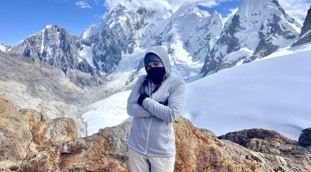
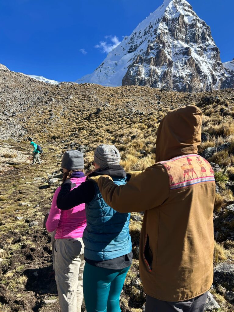
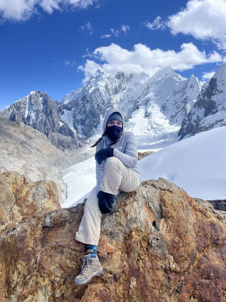
On day 4, we reached the highest point of the trek, Trepecio Glacier, sitting at 16,732ft (or 5,100m). Next to the glacier is a mountain called Siula Grande (pictured below), the site of the famous mountaineering survival story chronicled in “Touching the Void”.
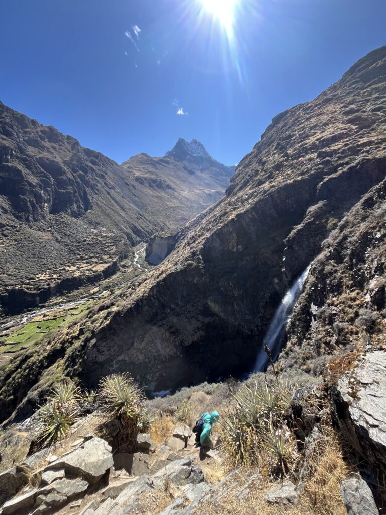
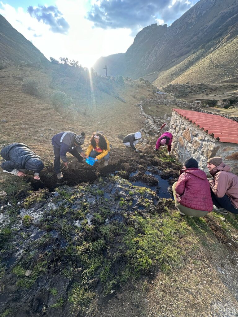
Waking up on day 5, we hiked from our campsite (called Pampa Elefante) through a small town called Huayllapa (3,500m or 11,482ft). A few people went down into the town to find cell service, our first since the start of the trek. Myself and a couple friends chose to wait for them on the trail, chatting with Yoder and the locals, attempting to impress them with the few Quechua phrases we know. There was a drastic change of scenery that day. Instead of the vast valleys and snow-capped mountains, we found ourselves surrounded by foliage on a steep downhill climb, along a huge waterfall. The waterfall, Yoder told me, was called Puwaq Paqtsa, Quechua for “8 cascades”. As you might concur, the falls were an 8-stepped natural masterpiece. After that, it was a straight uphill 2-3 hour climb to the campsite Huatiaq (4,253m or 13,953ft). If you do the math, we climbed 2,471ft that afternoon.
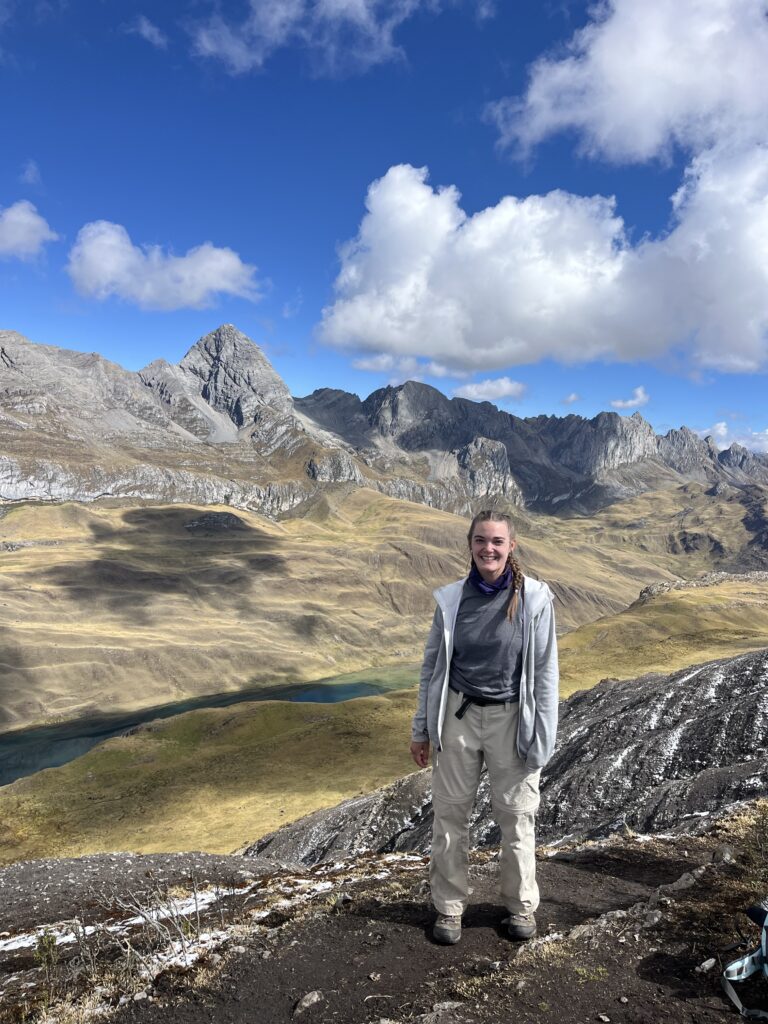
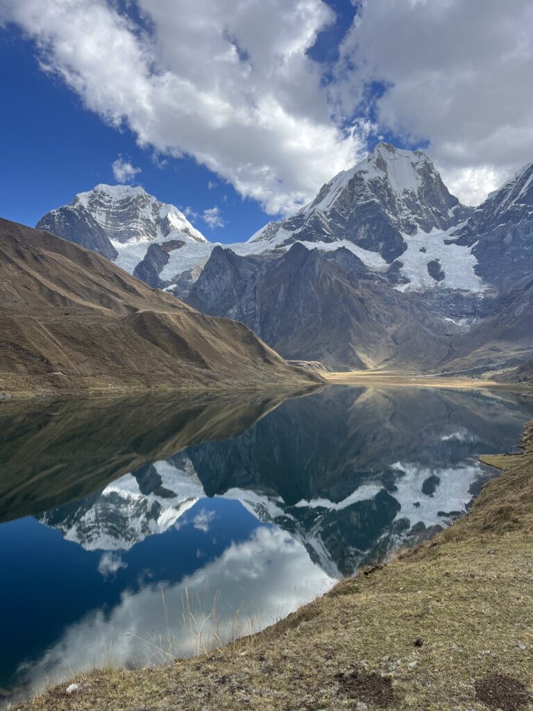
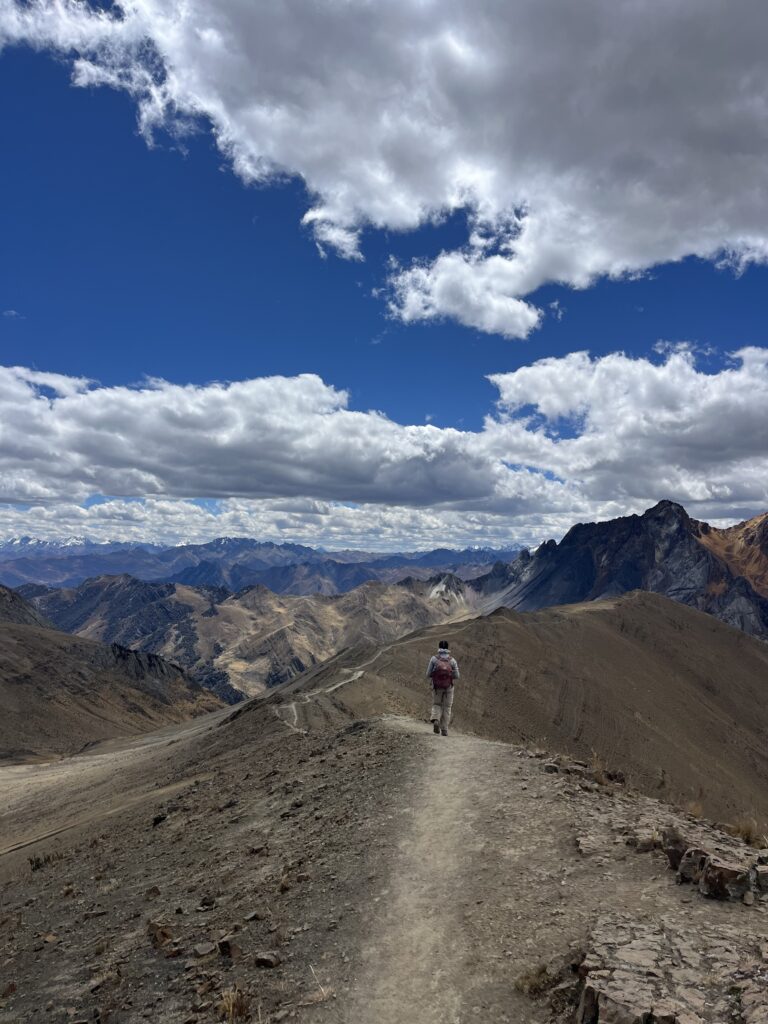
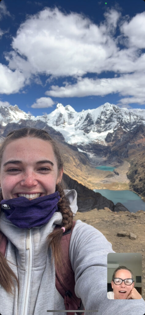
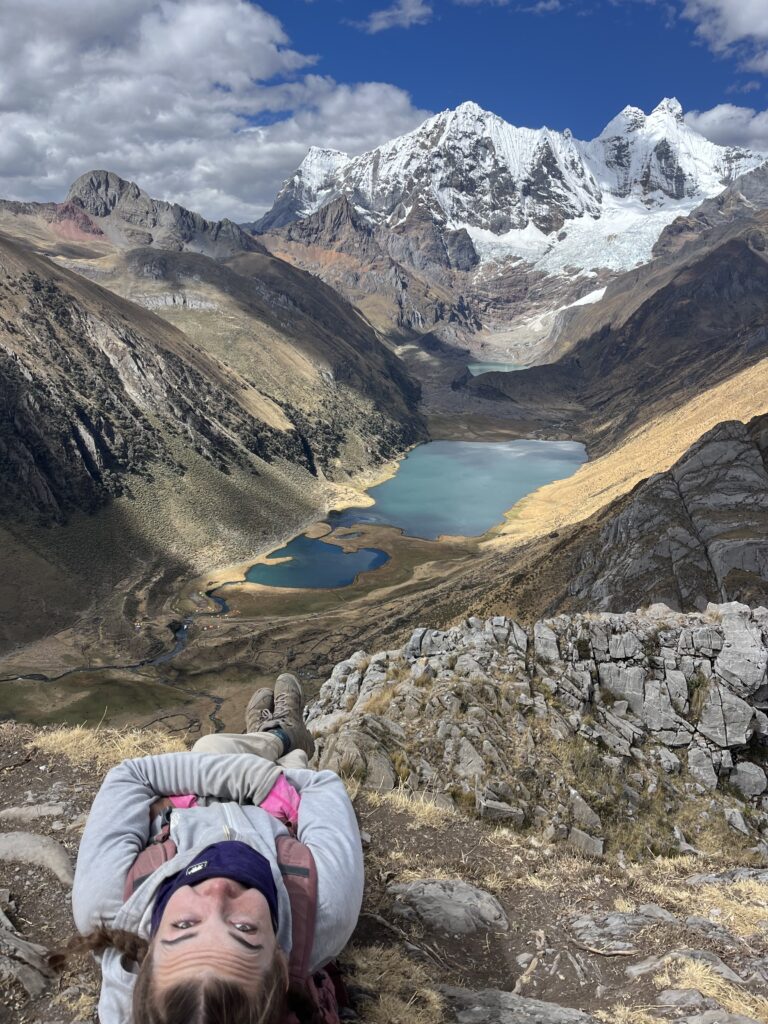
Day 6 was a bit of a whammy. We hiked through two passes: Tapush Point (4,750m or 15,583ft) and Yaucha Point (4,900m or 16,076ft). Just past Yaucha Point, we walked atop a mountain ridge that offered a stellar 360-view of surrounding mountain ranges. At the end of the ridge, before embarking on a treacherous decent, was my aforementioned favorite view of the trek. It also happened to be the first point with cell service. Albeit blurry and choppy, I managed to call Kim K (my dear mother, not the Kardashian) to show her the view. Behind me sat a range of mountain peaks, all mountains which we had seen various times in the days prior, just from different angles: Ninashanca and Jirishanca, Siula Grande, Yerupajá (the biggest of the Huayhuash range), and Rasac.
At the base of the mountains sat a pair of lagunas, called Jahuacocha (4,140m or 13,582m). If we squinted, we could make out our campsite way down below, next to the laguna. The campsite was called Incahuain, which was actually a campout for months (or years?) for the Shining Path terrorist group back in the 1980s/1990s. If you don’w know much about the Shining Path, they were a communist Peruvian organization which terrorized the rural Andean regions of Peru, and later Lima, for 20 years. Our guide Yoder told us that one night during their campout, they were raided by the Peruvian military. The military killed almost all of the Shining Path members, who are still buried around the laguna today. Unmarked graves.
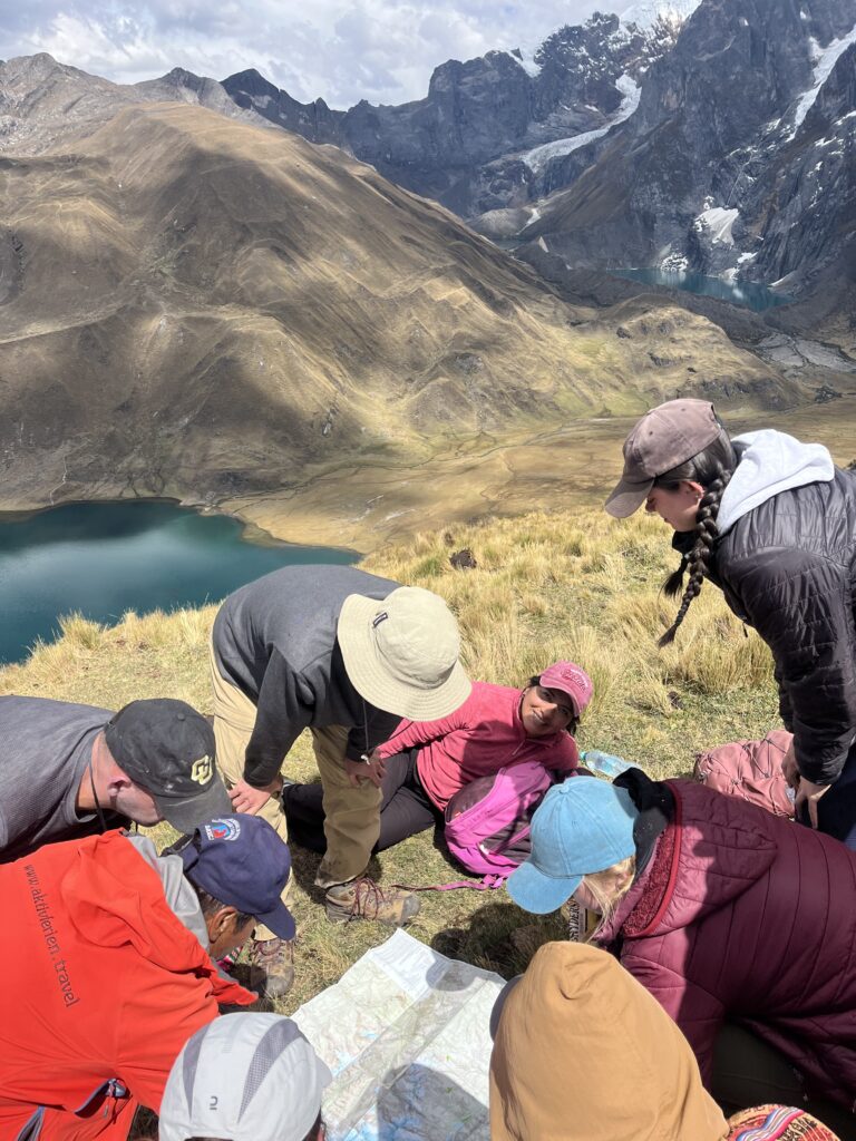
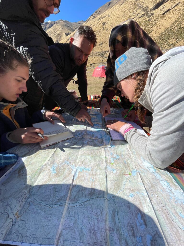
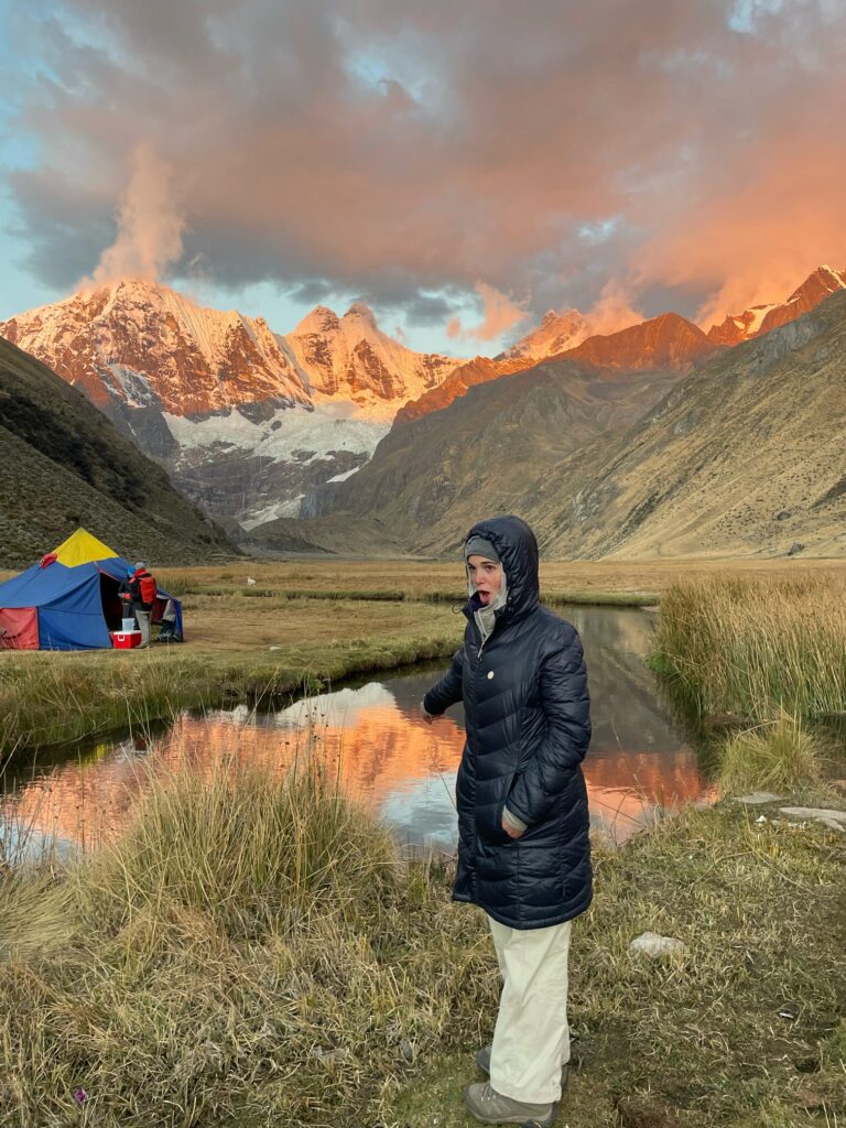
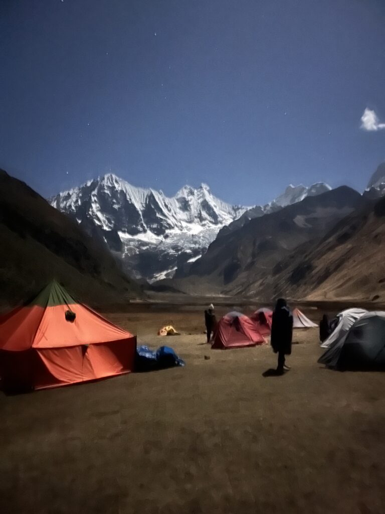
Incahuain was our final campsite, as we stayed there two nights in a row. That made day 7 a chill day. We did a short 3-hour hike (short compared to the other days) to the furthest laguna, and stopped to swim in a stream along the way. We arrived back at camp to eat a final lunch, the classic “pachamanca” where you dig a hole and cook everything in the ground. In the afternoon, we sat around the map to trace back our journey, and later dug for worms to catch trout in the nearby stream (to no avail). The final night ended with a fiery sunset, and sleeping under the moonlit Huayhuash mountains.
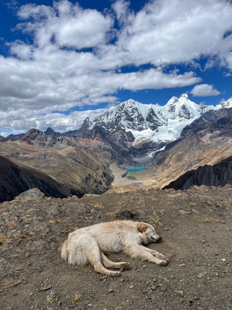
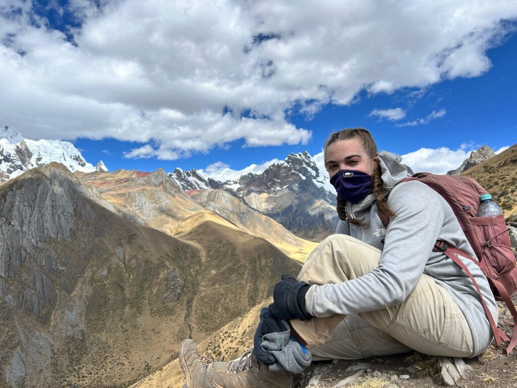
Extra Photos!
6 thoughts on “Huayhuash: One of the most beautiful cordilleras in the world”
Absolutely amazing! Living the life Lucie, high in the Andes. Love you!
Love you!!
Incredible trip. It’s fun living vicariously through you. Thank you for sharing this adventure.
Thanks for reading Holly!!
What an amazing experience! ❤️ Love reading your blog!
Thanks Cromer!! It was a great experience indeed 🙂